Mt.
Tallac (9,739’), CA
9/7/2010
Mt. Tallac trail - 10 miles RT
Elevation gain – 3,245’
*Click to view large.
Grand vista at Mt.Tallac summit - 9,739'
Among
the high peaks in Tahoe basin, Mt. Tallac may be considered as one of the most popular hikes.
Mt. Tallac towers over Lake Tahoe and is located in Desolation Wilderness,
which
is a pristine wilderness of alpine lakes and mountains, and also known
for the most used wilderness hike per acre in the nation. Mt. Tallac
became my third peak to summit in Tahoe basin following Mt. Rose
and Freel Peak. The hike to summit gains 900' for the first 1.5 miles
and
ascends 2,600’ for the last 3 miles with a scramble on talus rocks about
1/4
miles to the summit. The trail is well maintained although it's claimed
as the most heavily used trail in the country. I happened to come across
a
group of volunteers from Conservation Corps working on the trail…they
were
re-routing some of the heavily used trail sections for maintenance. Mt.
Tallac offers dramatic vistas all along –
Fallen Leaf Lake, Cathedral Lake, Emerald Bay, Gilmore Lake, Susie Lake,
Aloha
Lake, Crystal Range and jaw-dropping view of Lake Tahoe from the summit.
So,
take time to enjoy the majestic wilderness and world-class views that
Mt.
Tallac offer as you trek.
How
to get there:
Take
HWY 89 from S. Lake Tahoe for Emerald Bay and make a left turn about 3/4 mile
past the Lake Tahoe Visitor Center. Head east on this paved road, and follow the
signs to "Mt. Tallac Trailhead". Wilderness permit is required for
day-hike or overnight camping in Desolation Wilderness.
Trail
begins easy and gradual about 1.5 miles and well-maintained. Vegetation
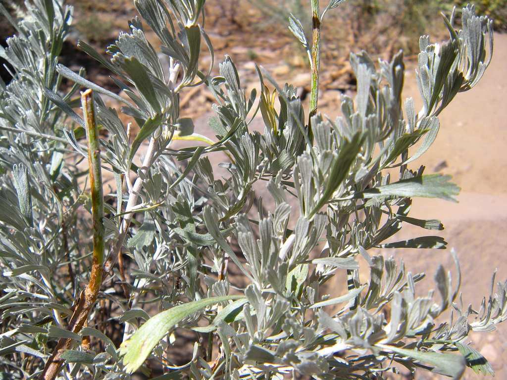
along the trail is wild sage bush, Lodgepole, Whitebark pines and Red fir which
are typically seen in high Sierras.
Mt. Tallac – 9,735’ comes
into view above tree line. A “cross” in crevices on the face of the mountain
below the summit can be seen in winter when it has snow.
Look
back to east as you ascend and views open up…Fallen
Leaf Lake and Lake Tahoe.
Conservation
Corps crew working on trail maintenance.
Mt. Tallac is one of the most heavily used trails in Desolation Wilderness and in the country.


Floating
Island Lake and wildflower meadows.


Cathedral Lake and Cathedral Peak. Trail begins to get steep and rocky.
View
of Lake Tahoe and Fallen Leaf Leak from the spur ridge. Monument Peak, Jobs
Sister and Freel Peak are seen in background. Lots of talus rocks are seen as elevation gains.
View west is Crystal Range and Desolation Wilderness.
View south toward Crystal Range. Trail intersects down south with Gilmore Lake in Desolation. The sign points to Mt. Tallac.
Final scramble to the summit at 9,739'.

Spectacular view from the summit....feel the size of Lake Tahoe - HUGE! View north is Mt. Rose (10,776') on the other side of the lake. Emerald Bay is also seen down below to the left.
View east
of the summit….Fallen Leaf Lake and Carson Range (Monument Peak, Jobs Sister
and Freel Peak).
View west
of Mt. Tallac is Desolation Wilderness - Gilmore Lake, Susie Lake and Crystal
Range. Peaks are Pyramid Peak, Mt. Agassiz, and Mt.
Price.
Panoramic view at Mt. Tallac summit - looking toward Crystal Range and Desolation Wilderness.
Mt. Tallac Trail en route to summit.