Showing posts with label alpine lakes. Show all posts

Sunday, January 22, 2017

Little Lakes Valley & Mono Pass in Eastern High Sierra - Rock Creek, CA


October 19, 2016

Trailhead: Mosquito Flat/10,200 ft
Morgan Pass: 7 miles RT; highest point/11,100 ft
Mono Pass: 7 miles RT; highest point/11,920 ft; Summit Lake/12,040 ft (?)

Amazing hike!  Hike along a series of alpine lakes and craggy peaks of High Sierra. Little Lakes Valley and Mono Pass (or Morgan Pass) via Rock Creek is a must do hike if you want to see breathtaking vistas of lakes and mountains. This is an easy to moderate/advance hike depending on which route you may choose....Morgan Pass or Mono Pass. 

Morgan Pass Trail:  Hike 0.5 miles to the junction and go to the left for 3 miles to Morgan Pass at 11,100'. You travel along a series of beautiful alpine lakes.

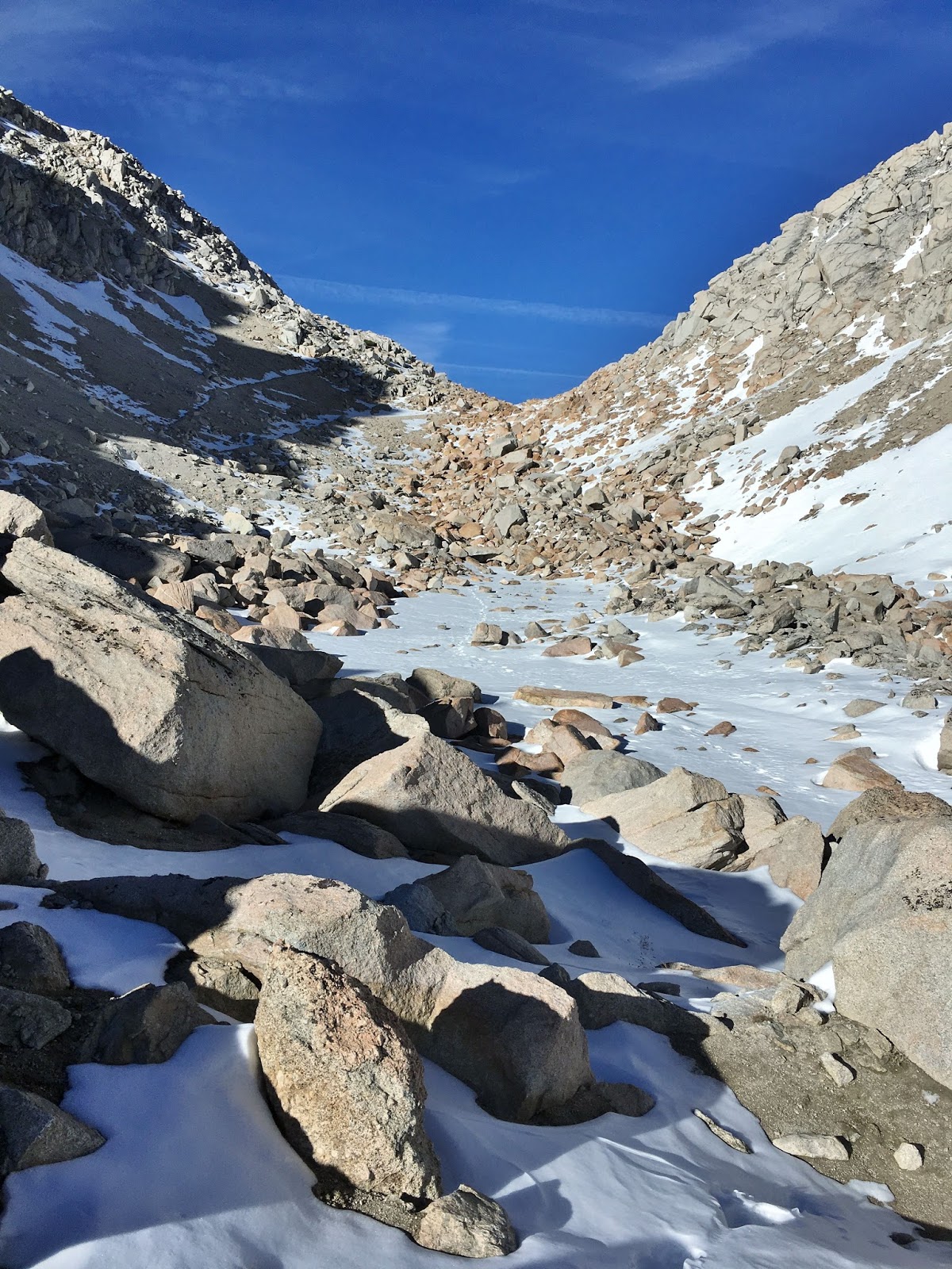
Mono Pass Trail:  Travel 0.5 miles to the junction and take the Mono Pass Trail to the right. Trail climbs above Little Lakes Valley in switchbacks. Trail climbs up to the right and leads to the pass at 3 miles (11,920').  You can continue on the route and reach Summit Lake (12,040'). Ruby Lake is seen down below to the left on the way up to the pass. It's a good side trip to the lake if you have enough time and energy.  Enjoy breathtaking vistas of Mt.Abbott, Petit Grifon and Mt. Mills looming over Ruby Lake.




Monday, September 5, 2016

Lake Aloha - Desolation Wilderness, CA

Trailhead - Echo Lake
15 miles RT
1770' elevation gain
Difficulty: Moderate


This is a long day hike/15 miles RT from Echo Lake passing 5 alpine lakes to reach Lake Aloha  - a prime swimming spot of beautiful Desolation Wilderness.  The hike to Lake Aloha is a must do hike in Desolation Wilderness to experience what Desolation Wilderness offers....alpine lakes, wildflowers, wildlife, alpine peaks and a remote sense of wilderness. 

The trail is mostly flat through the hike with some sections of elevation gain, and also gets rocky part of the way. You will pass by 5 lakes in this hike. Enjoy the views of the alpine lakes....and swimming if you like! I saw hikers sunbathing, napping and of course, swimming in the lake(s)....there is no better way to relax than swimming after a long hike in a hot summer day! Lake Aloha is gorgeous with pristine water surrounded by alpine boulders and picturesque peaks. It's a great place for camping and backpacking so that you can explore the area more leisurely. 

For a side trip, I recommend to stop by Lake of the Woods located near Lake Aloha.  You can hike there on the way to/from Lake Aloha as the trail sign directs. 


Bayview Trail (Granite Lake/Maggies Peaks/Dicks Lake) - Desolation Wilderness, CA 8/7/2016

Trailhead -Bayview Trail
Moderately strenuous hike
10 miles RT
1,700' elevation gain 

This is a great hike to experience Desolation Wilderness with spectacular views.  Maggies Peaks are one of the gateways to Desolation Wilderness. There is no official trail going up to Maggies Peaks from the main trail/Bayview Trail, but you can follow boot tracks to the peaks once you reach the saddle and aim to climb towards the top.  Keep "minimum impact" in mind, however, and not to trek over and damage vegetation. Maggies south peak offers a fantastic panoramic view of Lake Tahoe, Emerald Bay, Cascade Lake, Fallen Leaf Lake and South Lake Tahoe with surrounding Tahoe rim and Carson range peaks - Mt. Tallac, Freel Peak, Jobs Peaks, Mt. Rose and more.  From Maggies north peak, you can peek into the remote alpine environment of Desolation Wilderness.

I continued the journey to Dicks Lake from Maggies Peaks via Bayview Trail and took the same route back to the trailhead.  You can take side trip options for Velma Lake and/or Eagle Lake en route to/from Dicks Lake, which will add extra distance and time to the journey.


Thursday, October 15, 2015

Gothic Basin - Mountain Loop Highway, WA


Having seen some pictures of Gothic Basin which reminded me of Desolation Wilderness in Lake Tahoe basin, I decided to hike up to Gothic to see its beautiful landscape with my own eyes before winter comes. In short, the hike was rather strenuous, but the reward was more than what I expected. The route climbs steeply through the forest and traverses deeply eroded gullies and alpine terrain. The vistas along the trail are amazing! It is said that Gothic Basin is one of the most spectacular and beautiful on the Mountain Loop Highway.

You have to trek an extra mile to get to Gothic Basin trailhead from where you park at Barlow Pass....the paved road ends there. From the trailhead to the basin is 3.3 miles and the trail ends at Foggy Lake by Del Campo Peak.

About 0.5 mile from the trailhead is easy without much grade. The trail begins to get steep in switchbacks soon after you cross the first creek. The creek was a little tricky to cross because of rapid stream (but, not deep!) and just a few slender logs laid down for crossing. The steep switchbacks kick your butt, no doubt.....be ready to get your heart rate going.

After a mile or so climbing up the steep switchbacks, the next challenge you face is a rocky trail. It's steep with rocks and stones all the way to the basin. Your hands become handy to assist you to ascend depending on steepness and the size of boulders to climb over. Scrambling is not necessary, however.


No pain, no gain! After the strenuous ascent, you deserve the beauty of Gothic Basin's magical landscape. There are many trails and boulders you can hike in the basin. I spent an hour and half exploring the basin and Foggy Lake, but the time passed so fast...I only wished I had more time! Gothic Basin would be a perfect place for camping leisurely to enjoy the beautiful landscape and alpine boulders.


Along the journey, there are many water falls, small and large, close and distant....some are breathtakingly spectacular and make you stop for a picture or two. Take your time and enjoy the scenery along the way....waterfalls and mountain views. You also cross many creeks in this hike. Since there was significant rainfall the day before, water was streaming down along parts of the trail. Sneakers are not recommended for this hike....summer is gone!

Gothic Basin is a beautiful hike of spectacular landscape and terrain with numerous creeks, alpine forest and lakes, boulders, waterfalls and breathtaking mountain peaks. By the way, Gothic Basin is on State Land and is not managed by the US Forest Service.