"This I may say is the first time I have been to church in California."
(John Muir after making the first recorded ascent of Cathedral Peak in 1896.)
October 22, 2016
Distance: 7 miles round trip to Lower Cathedral Lake
Trailhead Elevation: 8,500 ft
Trailhead Elevation: 8,500 ft
Lower Cathedral Lake Elevation: 9,290 ft
How to Get there: Traihead is located at 1/2
mile west of the Tuolumne Meadows Visitor Center. Park your car along
the road and make sure not to block traffic. Shuttle Stop #7. Start hike at Cathedral Lakes trailhead,
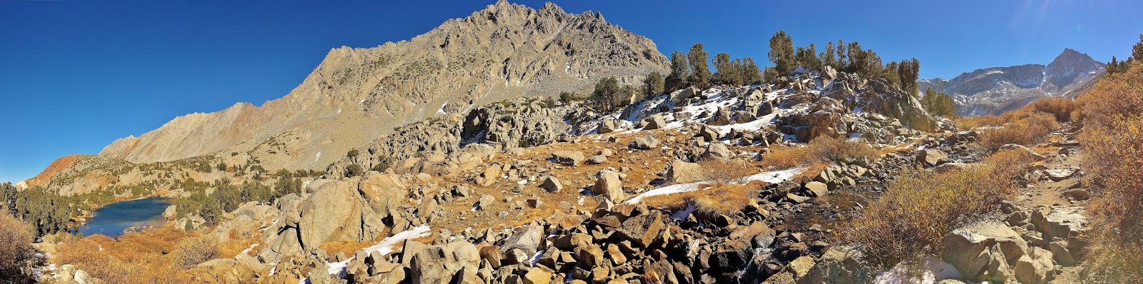
Late October, gorgeous fall colors are seen along Tioga Pass Road as you drive from HWY 395 to Yosemite National Park's high country. Snow capped eastern High Sierra's craggy peaks are so dramatic and breathtaking.
Late October, gorgeous fall colors are seen along Tioga Pass Road as you drive from HWY 395 to Yosemite National Park's high country. Snow capped eastern High Sierra's craggy peaks are so dramatic and breathtaking.
The hike starts near Tuolumne Meadows along Tioga Road. The trail to Cathedral Lake is part of the John Muir Trail. This is a very popular hike, so there will be other hikers on the trail. But, no worries....crowds are much less compared to Yosemite Valley's zoo like condition!
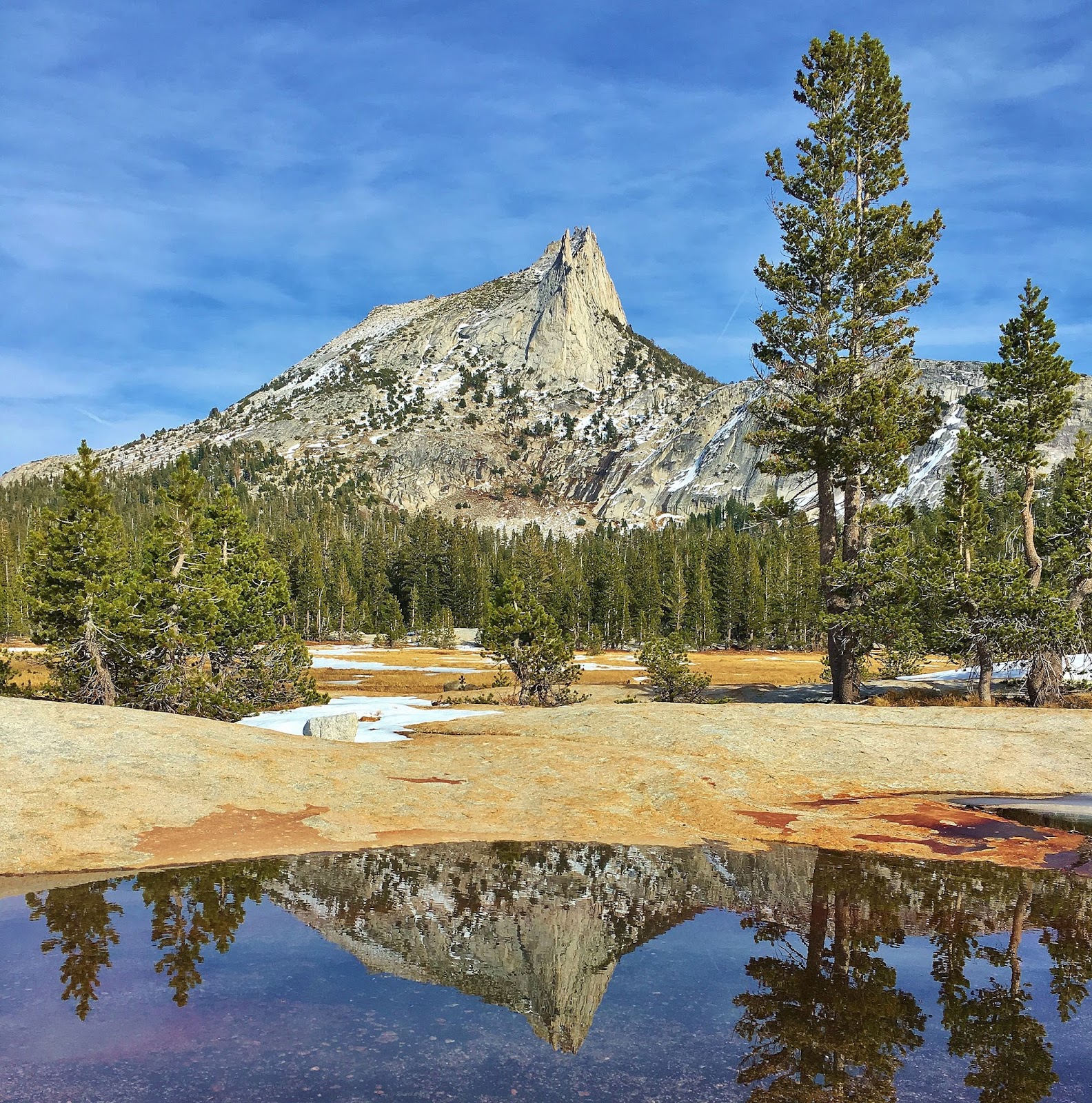
Lower Cathedral Lake offers quite impressive landscape of Yosemite's granite slabs/boulders and High Sierra's peaks with alpine lakes. Cathedral Peak, Echo and Tresidder Peaks loom along Lower Cathedral Lake. Enjoy spectacular landscape and views of high peaks and the alpine lake. It's like you are in a paradise. You can explore trekking along the meadows and the lake. There are plenty of perfect spots for your lunch or napping on the granite slab around the lake.
The hike climbs steadily from the beginning, but it's mostly gradual grade with some steep sections. Overall, it's easy to moderate hike, except high altitude/8,500 - 9,290 ft. You can also hike up to Upper Cathedral Lake adding extra 1/2 mile with 300 ft gain if you wish.