Showing posts with label desolation wilderness. Show all posts

Sunday, March 21, 2021

Slideshow - Beautiful Mountains and Landscapes


This is a slideshow presenting beautiful mountains and landscapes from some of the hikes I went on in California and Washington states.

California:
Yosemite, High Sierra, Mt. Whitney, Death Valley, Lake Tahoe, Ralston Peak, Maggies Peak, Joshua Tree, Anza Borrego, Point Reyes, Mt. Tam, McWay Falls, Point Mugu, Big Pine Lakes, Sam Mack Meadow, North Palisades, Kearsarge Pass, Sequoia/Kings Canyon, Half Dome, Firefall, El Capitan, Clouds Rest, Mt. Hoffmann, Mt. Dana, Cathedral Peak, Mt. Shasta, Desolation Wilderness, Alamere falls, North Table Mountain, Phantom Falls, Round Top Mountain, Red Lake Peak, Winnemucca Lake. Mt. McCoy, Walker Canyon, Carrizo Plain, Tamales Point
 
Washington:
Mt. Baker, Mt. Rainier, Mt. St. Helens, North Cascades, Colchuck Lake, The Enchantments,  Mt. Adams, Maple Pass, Mt. Ellinor, Mt. Washington, Sourdough Mountain, Hidden Lake, Skagit Valley, Table Mountain, Cascade Pass, Sahale Arm, Palouse Falls,

Camera used: 
iPhone 6s 
iPhone 8 
Nikon Cool Pix


Video by Lifeisamt

Wednesday, August 2, 2017

Pyramid Peak Via Rocky Canyon Trail - Desolation Wilderness, CA


Pyramid Peak seen from Ralston Peak 6-30-2017


July 30, 2017


When I hiked into Lake Aloha in Desolation Wilderness last year, I saw a pyramid-like granite mountain towering over the lake. It was Pyramid Peak I saw for the first time. I was so fascinated by the shape of the peak just like a pyramid and wondered if there was any trail going up to the top. Later I learned Rocky Canyon trail was the most direct and shortest approach to summit. This June when I hiked up Ralston Peak and faced Pyramid Peak for the second time, I set my eyes on Pyramid.

Scaling Pyramid Peak via Rocky Canyon trail is the most vertical climb in the Tahoe Sierra, gaining 4,100' elevation in 3.5 miles reaching the summit at 9,983'. That said, the journey is challenging and strenuous. However, the reward at the end is worth the effort, that is, a spectacular view in all directions into Desolation Wilderness and beyond....Crystal Range, Lake Aloha, Desolation Valley, Lake Tahoe, Carson Range, peaks of Carson Pass and beyond as far as you can see. Also, Wildflowers are blooming in meadows and I saw a wilderness resident....marmot!

Trailhead
There is no official trailhead for this hike. Park your car along highway 50 heading east about a mile after passing Strawberry Lodge. There is a small dirt pullout for several cars near the overhead traffic info board. If it's full, park along the road, but beware of "no parking" sign.

The entry point to the trail is across the road from the old 43 mile stone marker. There's also a big rock obscurely painted in gray at the point where you make a short climb up to the trail. Once you climb up the embankment, soon you'll see the obvious trail.

Journey
The trail is in good condition overall and climbs steeply from the beginning and crosses a creek in about a mile. There are many blowdowns along the trail, so you have to cross over or veer around them. Follow cairns as you go, so you can stay on the route. If you end up bushwhacking along the way, you are likely not on the right track. The forest gradually thins out after crossing the creek and you come to meadows where the trail levels out...wildflowers are blooming nicely. After the meadows, the trail gets steep again and Pyramid Peak comes in sight. There are some snow fields along the trail, but it's easy to cross. The trail becomes a scree slope and climbs steeply in switchbacks along the southeast ridge of Pyramid Peak. Pace yourself with high altitude/9,000'+ and make a final push through talus rocks to the summit. Be careful as you ascend the talus slope....rock and boulder hopping. Make sure your footing and hand holds are secure and stable on the rock. Take in amazing vistas from the top. Two thumbs up!

Bring enough water or filter to stay hydrated. The route is exposed to the sun above as the timberline thins out. Be watchful for thunderstorms as they tend to develop more frequently in mid summer. Wilderness permit is required because Pyramid Peak is within Desolation Wilderness. Permit is available/free at Pacific Ranger Station or Twin Bridges/Pyramid Creek trailhead.


 Video by Lifeisamt

Monday, July 10, 2017

Hike up Ralston Peak 6/30/2017 - Desolation Wilderness, CA

June 30, 2017

Wow! Amazing hike with spectacular vistas in all directions....Desolation Wilderness, surrounding peaks and alpine lakes, Lake Tahoe and many other peaks of northern High Sierra as far as you can see! It's a strenuous hike with high altitudes/9,200', gaining 2,800' in 3 - 4 miles depending on routes. But, the reward at the summit blows you away! Two thumbs up!!

The trail is mostly dry and in good condition with one blowdown (minor). As of June 31, there are some snow fields to cross between 8,300' and 9,000', but nothing to worry about as they are easy to cross. (Water proof boots recommended, however.) Most of the snow along the trail will probably melt away in a week or so.

Looking down from high above, the core zone of Desolation Wilderness still looks covered with ice and snow where Tamarack Lake, Ralston Lake, Lake of the Woods and Lake Aloha are.

Be safe out there and enjoy the hike!


Video by Lifeisamt

Monday, September 5, 2016

Lake Aloha - Desolation Wilderness, CA

Trailhead - Echo Lake
15 miles RT
1770' elevation gain
Difficulty: Moderate


This is a long day hike/15 miles RT from Echo Lake passing 5 alpine lakes to reach Lake Aloha  - a prime swimming spot of beautiful Desolation Wilderness.  The hike to Lake Aloha is a must do hike in Desolation Wilderness to experience what Desolation Wilderness offers....alpine lakes, wildflowers, wildlife, alpine peaks and a remote sense of wilderness. 

The trail is mostly flat through the hike with some sections of elevation gain, and also gets rocky part of the way. You will pass by 5 lakes in this hike. Enjoy the views of the alpine lakes....and swimming if you like! I saw hikers sunbathing, napping and of course, swimming in the lake(s)....there is no better way to relax than swimming after a long hike in a hot summer day! Lake Aloha is gorgeous with pristine water surrounded by alpine boulders and picturesque peaks. It's a great place for camping and backpacking so that you can explore the area more leisurely. 

For a side trip, I recommend to stop by Lake of the Woods located near Lake Aloha.  You can hike there on the way to/from Lake Aloha as the trail sign directs. 


Bayview Trail (Granite Lake/Maggies Peaks/Dicks Lake) - Desolation Wilderness, CA 8/7/2016

Trailhead -Bayview Trail
Moderately strenuous hike
10 miles RT
1,700' elevation gain 

This is a great hike to experience Desolation Wilderness with spectacular views.  Maggies Peaks are one of the gateways to Desolation Wilderness. There is no official trail going up to Maggies Peaks from the main trail/Bayview Trail, but you can follow boot tracks to the peaks once you reach the saddle and aim to climb towards the top.  Keep "minimum impact" in mind, however, and not to trek over and damage vegetation. Maggies south peak offers a fantastic panoramic view of Lake Tahoe, Emerald Bay, Cascade Lake, Fallen Leaf Lake and South Lake Tahoe with surrounding Tahoe rim and Carson range peaks - Mt. Tallac, Freel Peak, Jobs Peaks, Mt. Rose and more.  From Maggies north peak, you can peek into the remote alpine environment of Desolation Wilderness.

I continued the journey to Dicks Lake from Maggies Peaks via Bayview Trail and took the same route back to the trailhead.  You can take side trip options for Velma Lake and/or Eagle Lake en route to/from Dicks Lake, which will add extra distance and time to the journey.


Saturday, December 15, 2012

Mt. Tallac - Lake Tahoe, CA


Mt. Tallac (9,739’), CA

9/7/2010
Mt. Tallac trail - 10 miles RT
Elevation gain – 3,245’

*Click to view large.
Grand vista at Mt.Tallac summit - 9,739'

Among the high peaks in Tahoe basin, Mt. Tallac may be considered as one of the most popular hikes. Mt. Tallac towers over Lake Tahoe and is located in Desolation Wilderness, which is a pristine wilderness of alpine lakes and mountains, and also known for the most used wilderness hike per acre in the nation. Mt. Tallac became my third peak to summit in Tahoe basin following Mt. Rose and Freel Peak. The hike to summit gains 900' for the first 1.5 miles and ascends 2,600’ for the last 3 miles with a scramble on talus rocks about 1/4 miles to the summit. The trail is well maintained although it's claimed as the most heavily used trail in the country. I happened to come across a group of volunteers from Conservation Corps working on the trail…they were re-routing some of the heavily used trail sections for maintenance. Mt. Tallac offers dramatic vistas all along – Fallen Leaf Lake, Cathedral Lake, Emerald Bay, Gilmore Lake, Susie Lake, Aloha Lake, Crystal Range and jaw-dropping view of Lake Tahoe from the summit. So, take time to enjoy the majestic wilderness and world-class views that Mt. Tallac offer as you trek.

How to get there:
Take HWY 89 from S. Lake Tahoe for Emerald Bay and make a left turn about 3/4 mile past the Lake Tahoe Visitor Center. Head east on this paved road, and follow the signs to "Mt. Tallac Trailhead". Wilderness permit is required for day-hike or overnight camping in Desolation Wilderness.
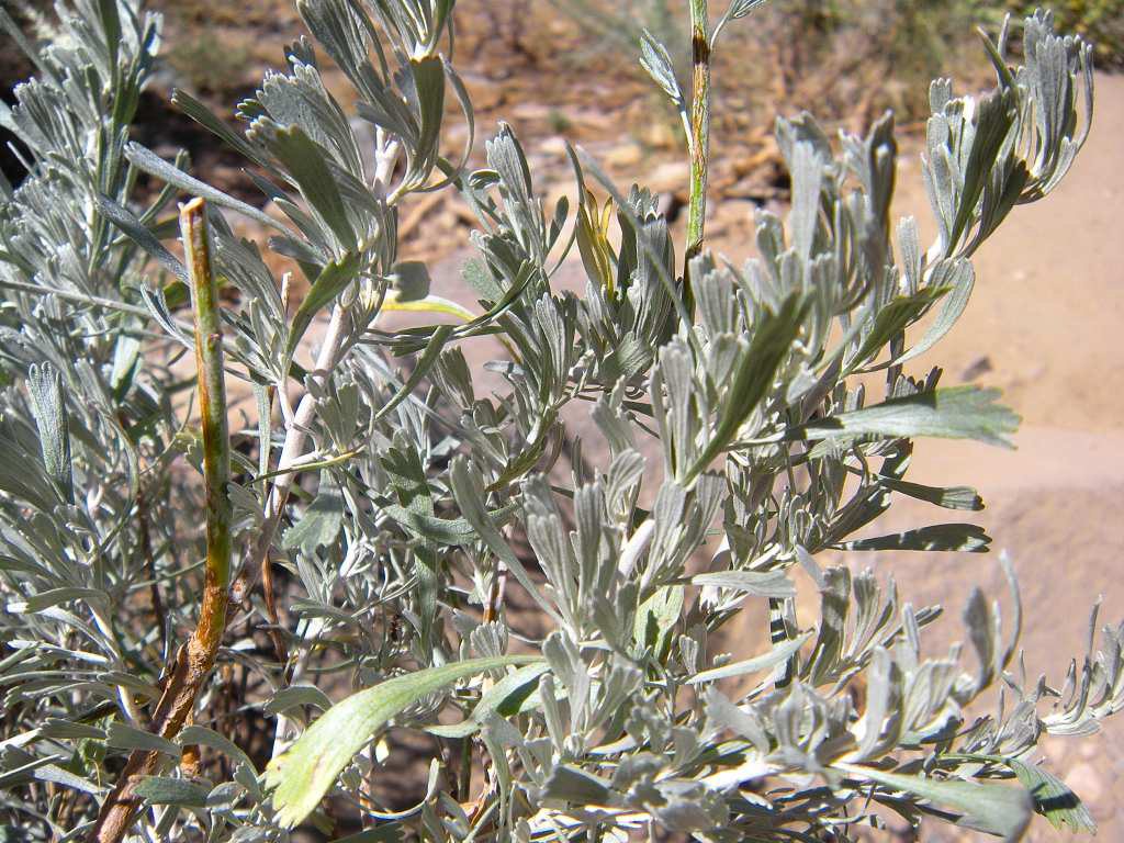

Trail begins easy and gradual about 1.5 miles and well-maintained. Vegetation along the trail is wild sage bush,  Lodgepole, Whitebark pines and Red fir which are typically seen  in high Sierras.


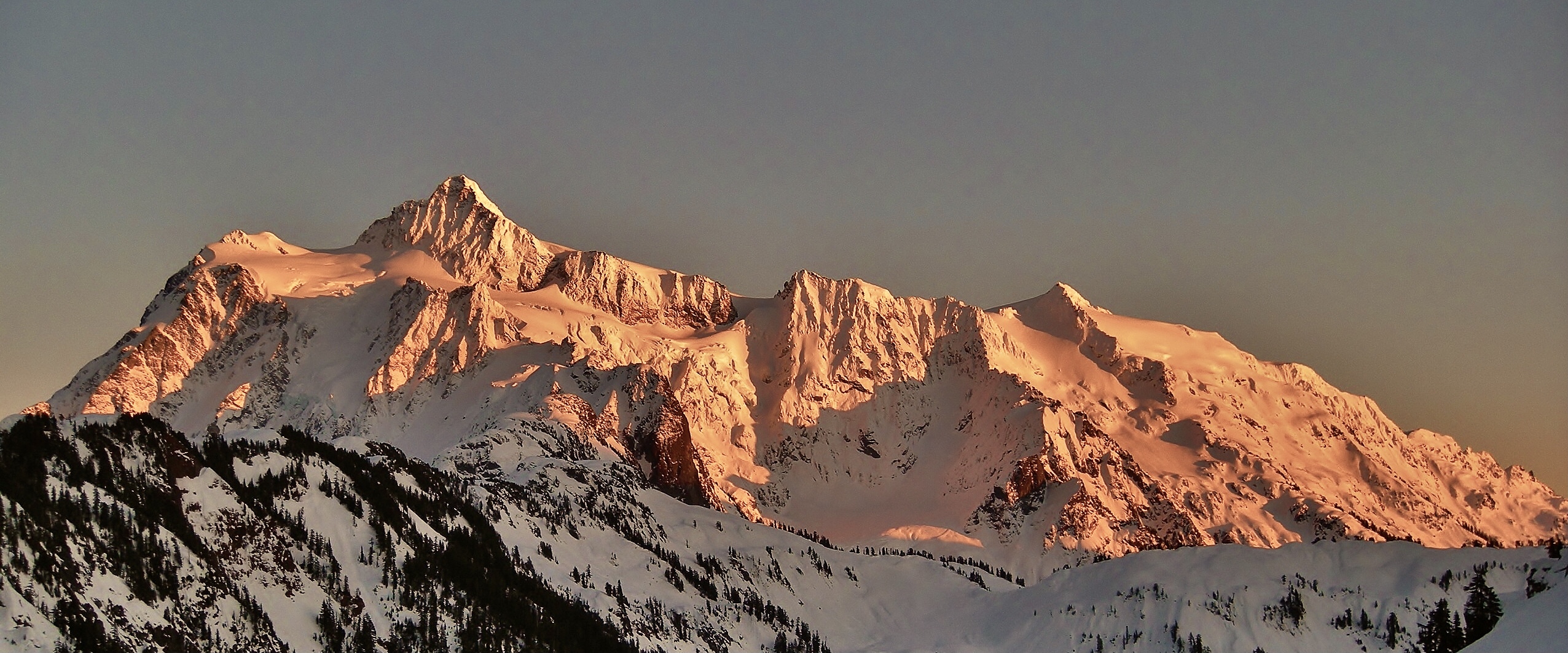
Mt. Tallac – 9,735’ comes into view above tree line. A “cross” in crevices on the face of the mountain below the summit can be seen in winter when it has snow.


Look back to east as you ascend and views open up…Fallen Leaf Lake and Lake Tahoe.


Conservation Corps crew working on trail maintenance.  Mt. Tallac is one of the most heavily used trails in Desolation Wilderness and in the country.


Floating Island Lake and  wildflower meadows. 


Cathedral Lake and Cathedral Peak. Trail begins to get steep and rocky.


View of Lake Tahoe and Fallen Leaf Leak from the spur ridge. Monument Peak, Jobs Sister and Freel Peak are seen in background.  Lots of talus rocks are seen as elevation gains.


 View west is Crystal Range and Desolation Wilderness.
                              
View south toward Crystal Range. Trail intersects down south with Gilmore Lake in Desolation. The sign points to Mt. Tallac.


Final scramble to the summit at 9,739'.


Spectacular view from the summit....feel the size of Lake Tahoe - HUGE! View north is Mt. Rose (10,776') on the other side of the lake. Emerald Bay is also seen down below to the left.


View east of the summit….Fallen Leaf Lake and Carson Range (Monument Peak, Jobs Sister and Freel Peak).
 

View west of Mt. Tallac is Desolation Wilderness - Gilmore Lake, Susie Lake and Crystal Range.   Peaks are Pyramid Peak, Mt. Agassiz, and Mt. Price.

Panoramic view at Mt. Tallac summit - looking toward Crystal Range and Desolation Wilderness.

 Mt. Tallac Trail en route to summit.